


QGIS for Windows 7 - QGIS, exceptional mapping and analysis software. - Windows 7 Download

QGIS 3.36.1
Discover QGIS, a powerful and intuitive tool for mapping and geospatial analysis.
Looking for a powerful and versatile geographic information system software for all your mapping needs? Look no further than QGIS, developed by the brilliant mind of Gary Sherman. With its user-friendly interface and extensive list of features, QGIS is the perfect choice for anyone looking to create beautiful and informative maps. Easy to download and install on your Windows 7 computer, this software is sure to become a crucial tool in your workflow. Don't settle for anything less than the best-QGIS is the premier GIS software on the market.
QGIS 3.36.1 full details

| File Size: | 1000.00 MB |
|---|---|
| License: | Open Source |
| Price: | FREE |
| Released: | 2024-03-26 |
| Downloads: | Total: 1612 | This Month: 160 |
| Publisher: | Gary Sherman |
| Publisher URL: | https://www.qgis.org/ |

Download QGIS 3.36.1
Save QGIS to My Stuff
Tweet
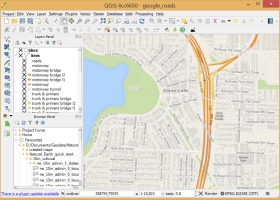
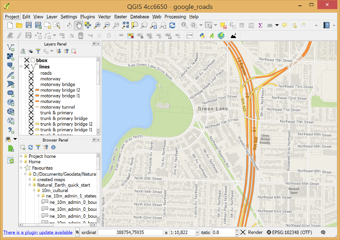
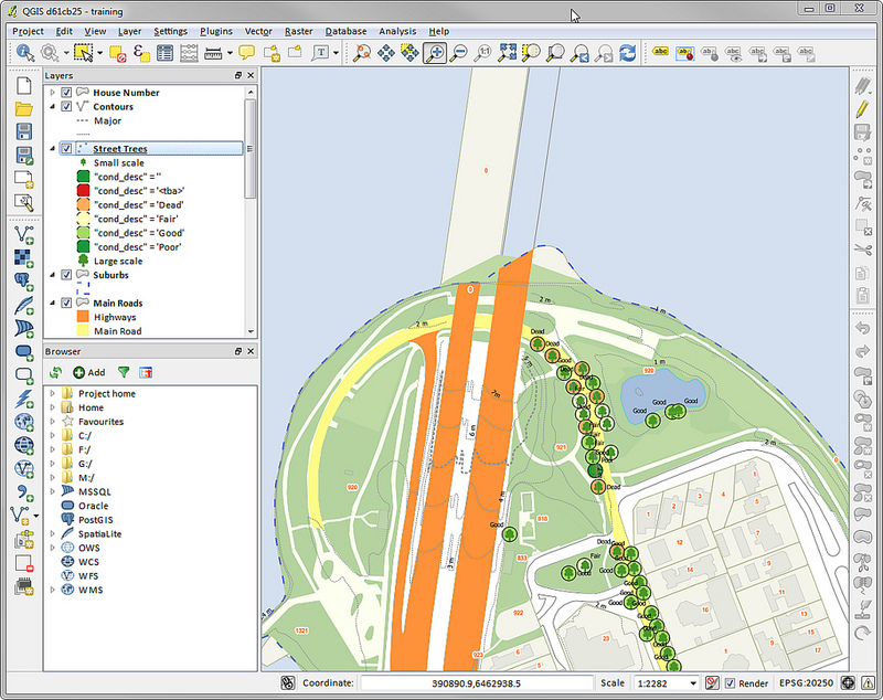
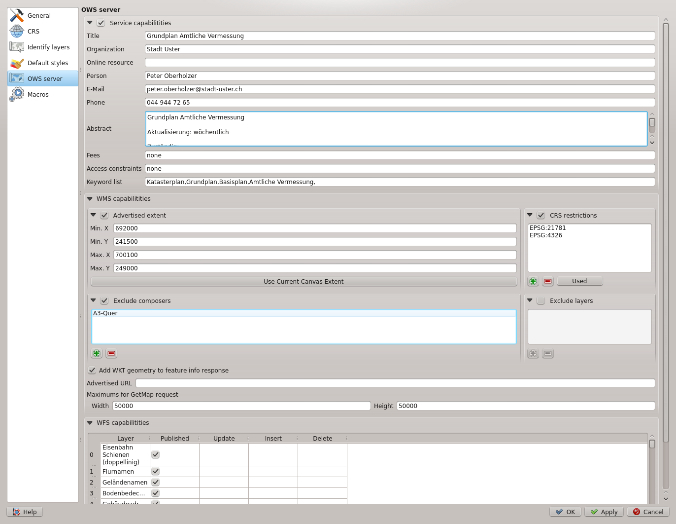
QGIS 3.36.1 full screenshots

QGIS - Windows 7 Download awards

QGIS 3.36.1 full description
Introducing QGIS, the user-friendly and open-source geographic information system software developed by Gary Sherman. This Windows 7 software allows you to create, edit, and visualize spatial data in an intuitive and efficient manner. With QGIS, you have access to numerous tools for mapping, analysis, and data management. From simple point and click operations to advanced geoprocessing functions, QGIS has it all. Best of all, it's completely free and continually updated by a dedicated community of developers. Download QGIS now and take your mapping skills to the next level!
QGIS 3.36.1 download tags
Bookmark QGIS
QGIS for Windows 7 - Copyright information
All QGIS reviews, submitted ratings and written comments become the sole property of Windows 7 download. You acknowledge that you, not windows7download, are responsible for the contents of your submission. However, windows7download reserves the right to remove or refuse to post any submission for any reason.
Windows 7 Download periodically updates pricing and software information of QGIS full version from the publisher, but some information may be out-of-date. You should confirm all information.
Using warez version, crack, warez passwords, patches, serial numbers, registration codes, key generator, pirate key, keymaker or keygen for QGIS license key is illegal and prevent future development of QGIS. Download links are directly from our mirrors or publisher's website, QGIS torrent or shared files from free file sharing and free upload services, including Rapidshare, MegaUpload, YouSendIt, SendSpace, DepositFiles, DivShare, HellShare, HotFile, FileServe or MediaFire, are not used.
Post QGIS review


Windows 7 QGIS related downloads
GHydraulics, developed by Steffen Macke, is an essential software for hydraulic engineers and anyone involved in ...
My Account
Help
Windows 7 Software Coupons
-
WinX HD Video Converter
56% Off -
MacX DVD Video Converter
58% Off -
WinX MediaTrans
63% Off -
WinX DVD Copy Pro
42% Off -
MacX MediaTrans
63% Off
My Saved Stuff
You have not saved any software.
Click "Save" next to each software.
Click "Save" next to each software.
Would you like to receive announcements of new versions of your software by email or by RSS reader? Register for FREE!
Windows 7 Downloads Picks
- LochMaster 4.0
- BricsCad Classic 24.2.06-1
- Sweet Home 3D 7.4
- Mobile Atlas Creator 2.2.1
- MVSP 3.22
- MaxIm DL 6.05
- Graph Streaming 0.7.0.12
- GPS Utility 5.51
- Melanie Viewer 7.0.7
- Geneious PRO x64 6.0.4
- Sprint-Layout 6.0
- DICOMscope 3.5.1
- Geneious PRO for Vista 4.7.6
- Jmol 14.31.53
- EAGLE Light 9.6.2
- LabCollector 4.96
- Geneious PRO 6.0.4
- CurveExpert Professional 2.7.3
- Gephi 0.10.1
- Circuit Diagram 3.1.0 B3
Popular Tags
solidworks
convert
assembly
landscape
stl file
animation
view
design
home
import
intellicad
autocad
open
obj file
solidedge
architect
software
file
bmp
dxf
viewer
cam
plug in
dwg viewer
export
stl
converter
cad
dwg
hpgl
Popular Windows 7 Software
- CorelDRAW X7 (x32 bit) 17.4.0.887
- CorelDRAW X7 (x64 bit) 17.4.0.887
- CorelDRAW X5 15.2.0.686
- CorelDRAW X4
- iTop Screenshot 1.2.3.544
- CorelDRAW 2017 19.1.0.419
- CorelDRAW X6 16.4.0.1280
- Blender - 32 bit 2.80
- Adobe InDesign CS5 CS5.5 7.5.3
- CorelDRAW X8 18.0.0.450
- Graphic Workshop Professional 15.0a rev11
- Model Air Design 2.4
- Blender Portable 4.1.1
- Paint.NET 5.0.13
- Model Air Design 2.4
© 2026 Windows7Download.com - All logos, trademarks, art and other creative works are and remain copyright and property of their respective owners. Microsoft Windows is a registered trademarks of Microsoft Corporation. Microsoft Corporation in no way endorses or is affiliated with windows7download.com.